We carry out Topographical land surveys across South Wales. Our team of surveyors supply a range of projects and these are tailored to the clients needs. They start from as little as £250 but vary depending on size and complexity of the area. We use Total Stations to provide detailed and accurate drawings. We measure all features such as trees, hedges, boundaries, spot levels, street furniture, building, manholes and much more. Where possible if we can lift the manhole lids we will measure the invert. With our state of the art equipment we are able to produce 3D positions of the area to be surveyed. These include Our digital data drawings or traditional paper drawings can be produced to any specified scale or simply to fit the specified sheet size. 3D positions means every single point has an X,Y,Z value, the X and Y are the two positions recorded to calculate the location or coordinate of the point and the Z value is the Height, we use GPS equipment to determine the Z value which gives us an AOD (above ordnance datum) level.
Utilising both GPS and total stations we are able to surveys across South Wales in some of the most challenging terrain. Using GPS equipment our measurements provide Ordnance Survey coordinates for every point we measure. Providing we can connect networks required, this can sometime be difficult depending on geographical location.
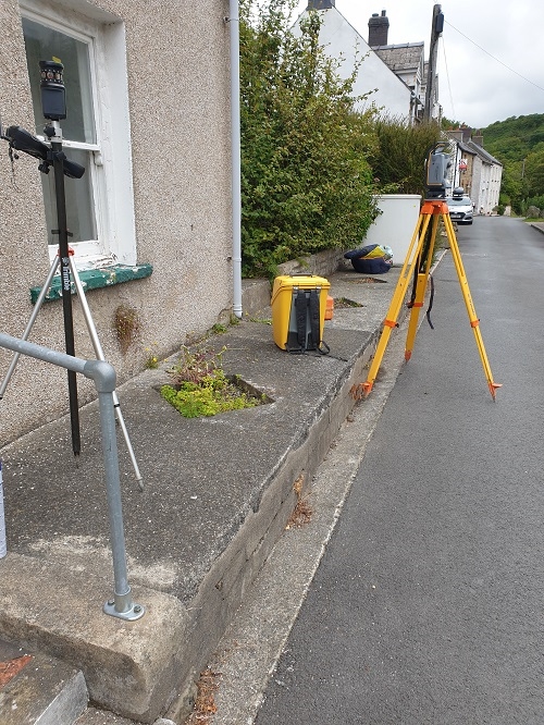
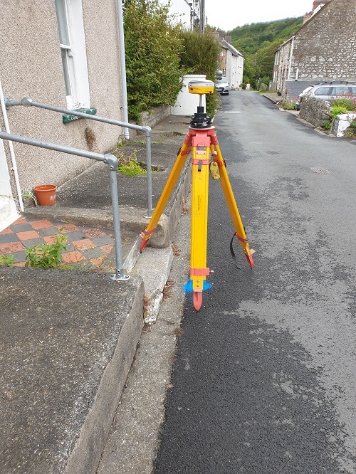
We use this equipment to set up control stations in order for us to set up the Total Station, the total station requires a minimum of two points to set up from, however we use a minimum of three to ensure accuracy. We set the GPS up on a tripod over the station which is usually a marker nail we install and take around two hundred and forty measurements/epochs, take a average from these and then we have an accurate station to use.
A regular aspect of our work is producing As-built surveys throughout South Wales, these surveys tend to be of the projects that we carry out site engineering/setting out. This includes liaising with the principal contractor and land agents to meet their demands and produce a drawing with the required information. During our surveys we can also establish control points for any future surveying and in preparation for the setting out of the site saving additional costs and time.
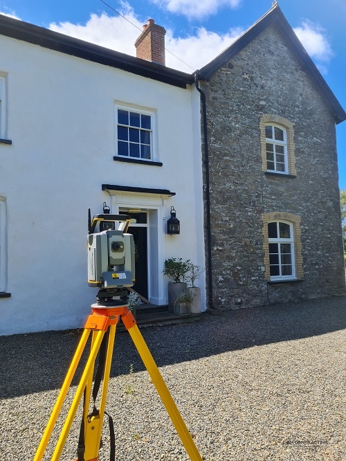
Total stations are where we started. Although GPS equipment is efficient and accurate, there are some areas it just won't reach. This is where our total stations come into their own. Our total stations equipped with photogrammetry and scanners allow us to produce pin point accuracy surveys in some of the most remote locations. Our latest instrument is the Trimble S7 3", we opted for a higher accuracy rather than the standard 5" instrument
Total stations allow us to carry out some of the most difficult remote data collection. Using a series of traverses and stations we are able to survey areas and structures off the beaten track. Our most recent example is having to find the precise location and levels of a number of manholes in a wooded area. With the use of our equipment we were able to make short work of this task.